")
Ratschings Sky Trail – The route
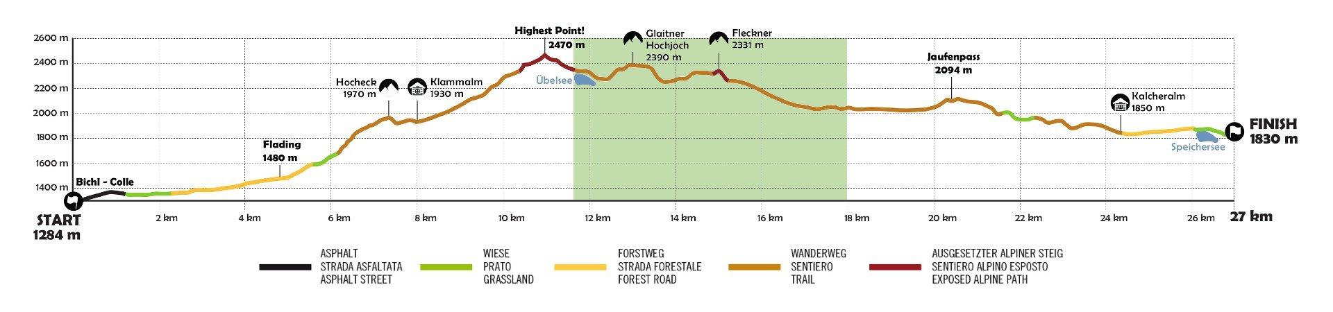
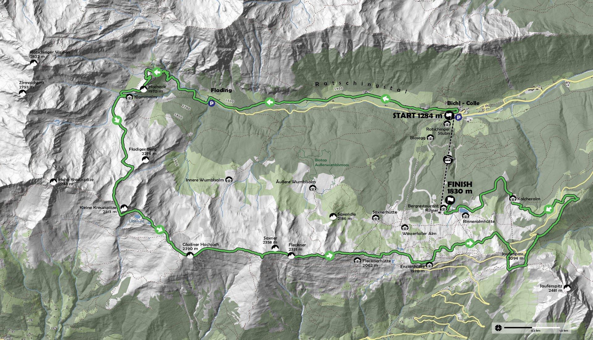
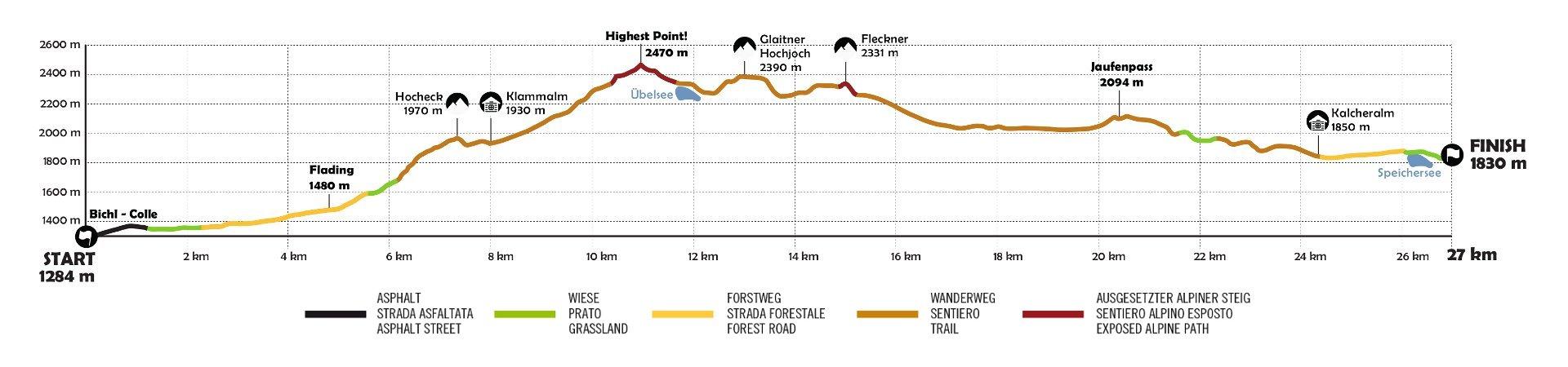
The Ratschings Sky Trail route allows ambitious runners a more intense challenge than the Mountain Trail. The Sky Trail route is divided into 6 sections and follows the same route as the Mountain Trail up to the Klammalm. The start and finish are identical for both routes. The individual sections are described in more detail below.
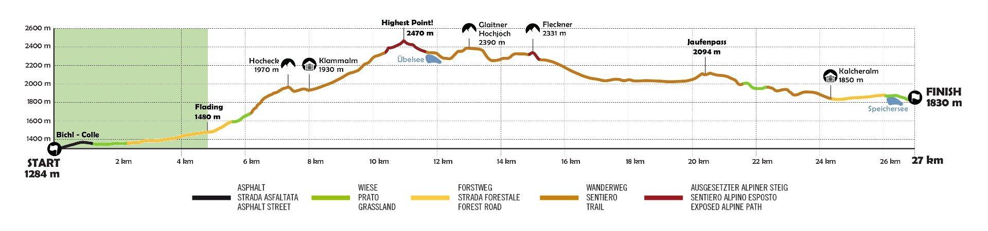
Section 1 – The start
The start is on the bridge next to the valley station of the ski resort. After the start, the first section of the route offers enough space to start safely.
The first part of the route takes place on a secondary asphalt road (approx. 1.2 km) and continues on paths, which have a moderate gradient.
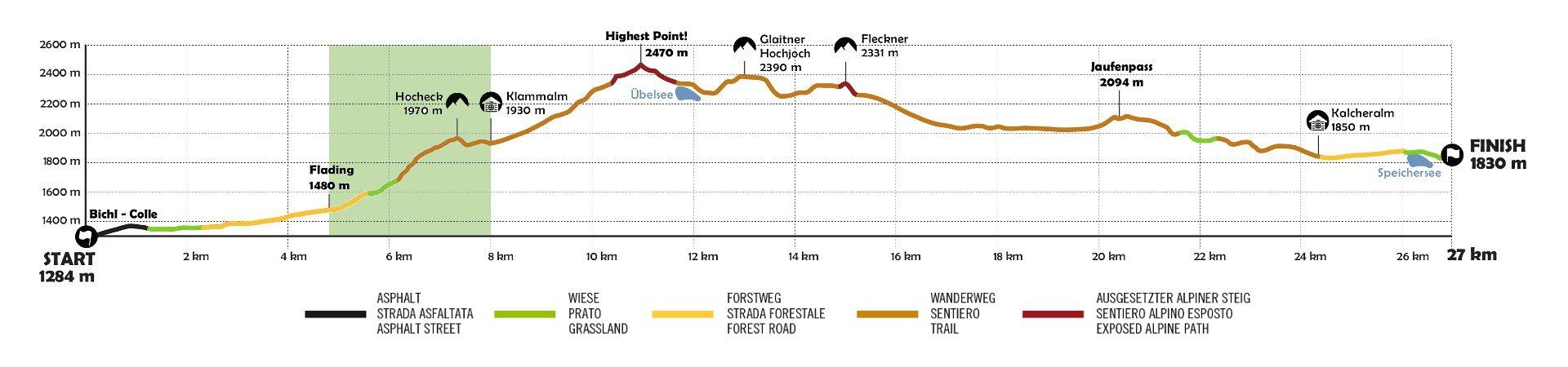
Section 2 – Up to the Klammalm
In Flading, at km 5, trail runners tackle the first pass to the Klammalm. After the bridge, the route begins to be challenging and reaches an altitude of 1,970m. The panorama is wonderful.
This is where the second refreshment point is located, from where the two trails lead off.
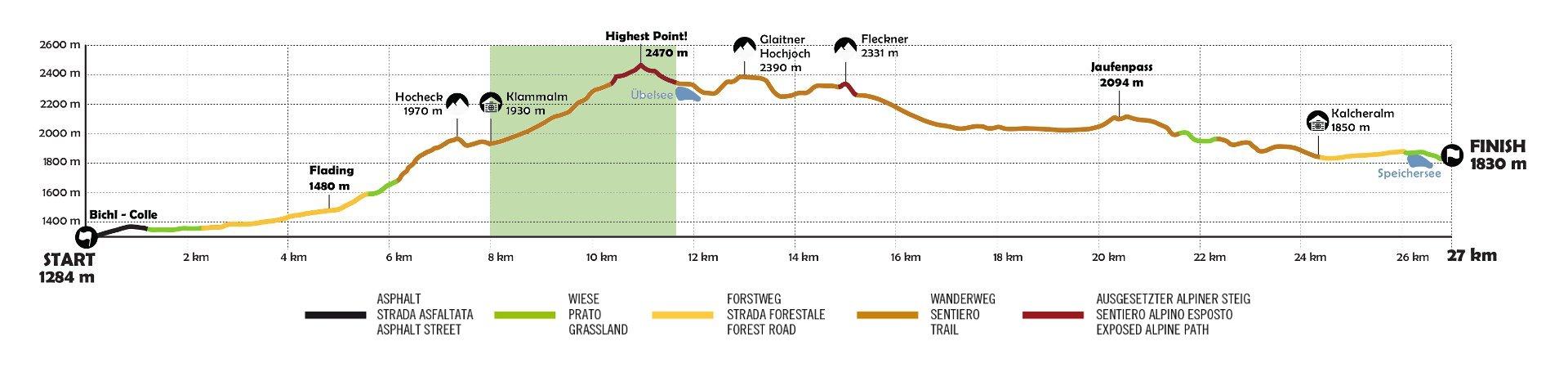
Section 3 – Ascent and passage to the Übelsee lake
At the Klammalm hut, the Sky Runners take the right-hand path and continue over alpine pastures on a moderate ascent to the little Kreuzspitze. Here the Sky Trail separates from the Mountain Trail. After a flat section, the athletes face a challenging climb.
Participants reach an altitude of 2470 metres and pass into the Passeier Valley. Then the trail descends to the Üblesee lake.
Section 4 – The Jaufenkamm
After the Übelsee, there is another short downhill run to the Schlattacher Joch (2,270m) to the third rest stop.
In the Ratschings ski area the Sky Runners cross two peaks – the Glaitner Hochjoch (2,390m) and the Fleckner (2,335m).
Coming from the Fleckner, participants then pass the Rinner Sattel and reach the mountain station of the Enzian lift and then the fourth refreshment point.